


4,9 km | 8,5 km-effort


Usuario


Aplicación GPS de excursión GRATIS
 SityTrail
IGN / Institutos geográficos
SityTrail World
El mundo es suyo
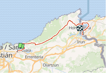
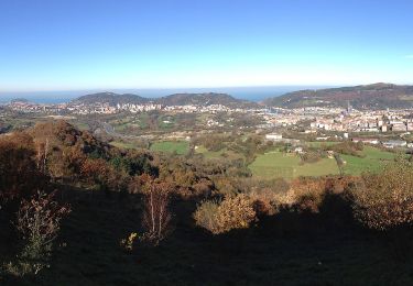
Ruta Senderismo de 25 km a descubrir en País Vasco, Guipúzcoa, San Sebastián. Esta ruta ha sido propuesta por pacha56.
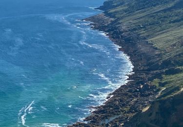
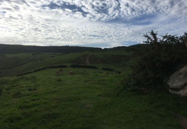
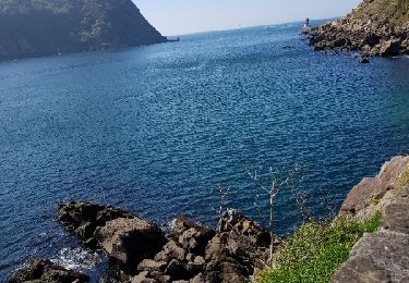
Train de Hendaye à Herrera puis navette nautique à Pasaïa, montée sur le Jaizkibel en passant par ND de Gualalupe, Fontarrabie, navette jusqu'à Hendaye et retour gare

A pie
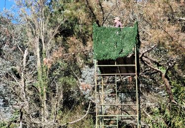
Senderismo
Senderismo
Senderismo
Senderismo
Senderismo

Senderismo
A pie
A pie